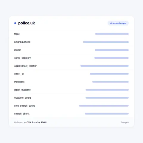
The Police.uk crime map shows one month at a time, and the newest month usually trails the calendar by about two months. History therefore comes from repeated runs: we keep each month as its own slice, keyed on street id, category and month, so a series per street, neighbourhood or force builds up run after run, and outcome changes on older crimes are caught when a recent month is read again.
Coverage starts from the location search - a postcode, street address or area - or from a force's list of neighbourhoods, and can take in every force on the site, British Transport Police among them. Crimes on a moving train are attributed to the end destination of the journey, which matters when rail figures sit next to neighbourhood figures.
Above the neighbourhood sits each force's Performance section: 999 Performance data with call answering times, 101 Performance data, Compare your area, Case length, Police workforce diversity and Police financial reserves. These force-level tables join street crime in one dataset on the force name. The site also runs in Welsh, behind its Cymraeg switch.