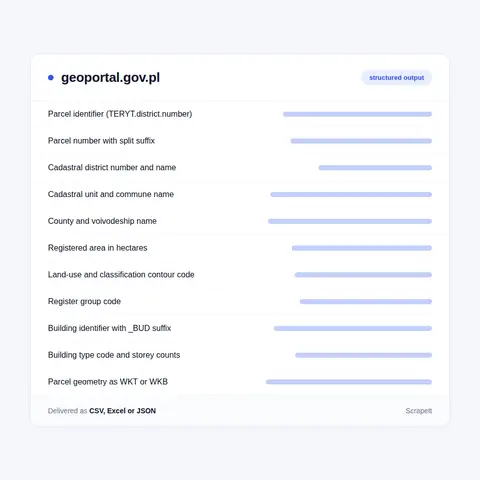
What a Geoportal parcel record carries: identifier, area, land use, buildings
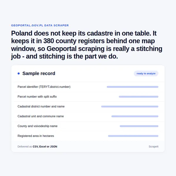
The parcel identifier. Every parcel carries a TERYT-based identifier shaped WWPPGG_R.OOOO.NR. In 141215_1.0051.2/7 the parts are voivodeship, county, commune, commune type, cadastral district and parcel number; the slash records a split, so 2/7 is the seventh piece cut from former parcel 2. Buildings extend the same string with a building number and the suffix _BUD. Because the type digit separates a town from the countryside around it, an urban-rural commune appears as two codes, 141204_4 and 141204_5.
What a parcel lookup returns. A parcel can be found by identifier, by coordinates or by district name and number, and buildings, districts, communes, counties and voivodeships the same way. Each result carries id and teryt, parcel number, region, commune, county, voivodeship, function for buildings, geom_wkt or geom_wkb, geom_extent, and datasource, naming the county service that answered.
Attributes from the map layer. A point query on the KIEG parcel layer returns the parcel identifier, voivodeship, county, commune and cadastral district names, parcel number, registered area in hectares, register group code, land-use designation, classification contour code such as Bi, and publication date. Sibling layers add buildings, contours and an LPIS fill-in layer.
County parcel and building records. County by county, the cadastre carries parcels with id_dzialki, numer_dzialki, nazwa_obrebu, numer_jednostki, nazwa_gminy, pole_ewidencyjne, klasouzytki_egib and grupa_rejestrowa, and buildings with id_budynku, a one-letter type code spanning residential, garage, industrial, office, transport and health, and storey counts above and below ground. One mid-sized county holds about 268,000 parcels and 99,000 buildings.
Boundaries and addresses. The register of boundaries publishes state, voivodeship, county, commune, town, cadastral unit and cadastral district polygons, statistical districts, and the service areas of courts, police and tax offices. Each feature carries JPT_KOD_JE as its TERYT code, JPT_NAZWA_ as its name, JPT_POWIER as area, plus INSPIRE identifiers and validity dates; address points and streets come from the same register.