Sahibinden Land Listings: 226K Plots for Sale, Plus 86K from HepsiEmlak
Land for sale across Turkey from Sahibinden and HepsiEmlak for a land investor: 226,000 plots in the first file and 86,200 HepsiEmlak rows.
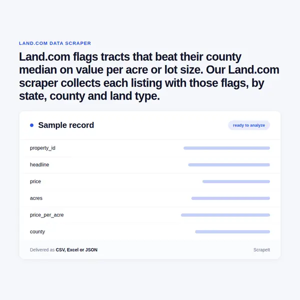
Land.com flags tracts that beat their county median on value per acre or lot size. Our Land.com scraper collects each listing with those flags, by state, county and land type.
Plans from €169 a month · Free project assessment · Reply within 1 business day
CSV · Excel · JSON · XML · FTP · SFTP · Amazon S3 · Google Cloud
API, JSON feed or CSV, XLSX and JSON files
ScheduleOne-time, monthly, weekly, daily or 3 times a day
Land.com pages, filters, fields and a schedule
Built, monitored and repaired by our team
API, JSON feed or CSV, XLSX and JSON files
You name the states, counties or regions, the land types - farms, ranches, hunting land, timberland, undeveloped land - and the acreage or price bands. We turn that into a crawl plan, run it and fix it when Land.com changes its pages. Land.com screens automated traffic, so browser rendering, proxy rotation, request pacing and CAPTCHA handling belong to the service rather than to your team.
The first delivery can be a one-off extract or the opening run of a weekly or daily schedule. A free project assessment tells you how large your scope is before anything is built, a sample shows the columns on real tracts, and documentation for every field ships with the dataset.
A Land.com listing lives under /property/, followed by a slug made from the acreage and county or from the street address, and a numeric Property ID that the page also prints. That id is the row key, so one tract can be followed from first appearance through price cuts to removal.
Search results carry a card version - headline, address, price, acres, beds, baths, square feet, agent and brokerage - twenty-five to a page, so coverage starts from the cards and opens full listings where the extra fields matter.
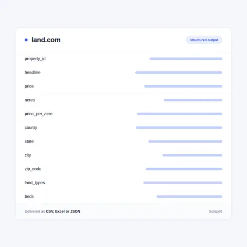
State and county search pages on Land.com, and the land-type pages beneath them, carry a Market Trends block: properties for sale, total acreage for sale, median lot size, median list price, median price per acre and median days on market. Captured on a schedule, those six figures become a land-price index for every state, county and land type you track, built from the same inventory your rows describe; county medians travel with each listing in its Key Insights block.
Listing pages add history that cards lack. The Recent Price Drop line dates each reduction, and a Previously Sold strip lists the agent's closed deals with sale date, price, acreage and location - a record of what traded, not only what is asking. Member pages carry an agent's listings and contact information, which makes a broker-level view possible: who holds the most acreage in a county, at what price per acre, and how fast those tracts turn over.
Repeated runs keyed on Property ID record new tracts, price changes and withdrawals day by day, so days on market and the discount from the first asking price come from observation rather than from one snapshot.
Land.com is a US marketplace for rural property - farms, ranches, hunting tracts, timberland, acreage and country homes - run by CoStar Group, whose name sits in the footer of every page. It belongs to the Land.com Network, which also takes in LandWatch and Land And Farm.
The site is organised the way land buyers search. Browsing runs from the country to a state, then to regions such as Hill Country South Texas, counties and towns, and each level can be cut by property type, price band and acreage band from 0-10 acres up to 1,000 acres and more. Lifestyle pages - barndominiums, hobby farms, homesteads, vineyards, cabins - and activity pages for hunting, fishing, horseback riding, off-roading, airstrips or conservation slice the same inventory again.
Listings are posted by land brokers and agents, and their completeness varies with them: one tract carries a price, a video, maps and a survey plat, the next shows its acreage and Contact for Price instead of a figure. Acreage is rounded on the search card and exact on the listing page and in its URL, which is why the raw text travels with the parsed fields.
Delivery: CSV, JSON or XLSX files, our API or a JSON feed. MCP server on request.
Full plan detailsLand is priced by the acre, and the acre is what this data lets you compare across counties, land types and brokers.
Land for sale across Turkey from Sahibinden and HepsiEmlak for a land investor: 226,000 plots in the first file and 86,200 HepsiEmlak rows.
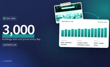
A daily apartments.com feed for a US apartment locator: about 3,000 buildings from the client's own list, down to each unit's rent and floor plan.
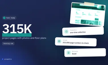
A one-time Housing.com collection for a real-estate company in India: project cards plus every photo and floor plan, uploaded straight to its cloud drive.
Learn how to use web scraping to solve data problems for your organization
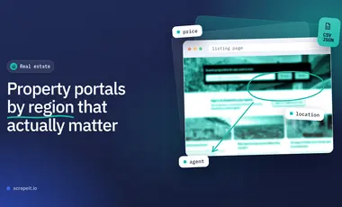
Real estate teams work in a fragmented data landscape. The sites that drive demand in Boston look nothing like the ones that matter in Berlin, São Paulo, Dubai, or Mumbai.
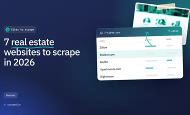
Real estate teams are operating in a data environment that is bigger, faster, and more fragmented than ever. Listings go live and disappear in hours, price cuts happen quietly, and the portals that matter most in each country are rarely the same global “top 5.”
Six jobs that scraped property data does, each backed by a ScrapeIt project: seller leads, listing monitoring, image datasets, weekly market supply, sold records and unit-level rentals. For every use case - the fields it needs and how often to refresh them.

ScrapeIt is a managed scraping service: we build, run and repair the crawlers, and you receive the data. Rural listings bring their own quirks - tracts without a price, acreage rounded on one page and exact on another, land-type tags that overlap on the same tract. We normalise those, keep Property ID as the key and deliver to Amazon S3, SFTP, Google Drive or your database on the schedule you set.
Still unsure? Write to info@scrapeit.io
Yes. The ScrapeIt Land.com API serves Property ID, price, acres, county, land type tags and the listing agent for every tract in your scope as JSON through an endpoint hosted by us, refreshed as often as you schedule it. The same rows also come as CSV or JSONLines files, over SFTP or loaded straight into your database.
Yes. Listing details, Key Insights, Environmental Factors, agent contact blocks and the Market Trends figures are shown to anyone who opens the site. Everything we gather is publicly available on Land.com to any visitor, and we gather it legally.
Yes. Land.com organises its inventory by state, region, county and town, and each state or county can be narrowed to farms, ranches, hunting land, timberland, undeveloped land or lakefront property and by price or acreage band. We build the crawl from the combinations you need and merge results on Property ID, so a tract tagged both Hunting and Timberland appears once.
As often as you schedule. Weekly suits most valuation work, because county medians move slowly; daily runs suit sourcing, where new tracts and the Recent Price Drop line are what buyers race for. Each row keeps the Listing last updated stamp, so you can see when the broker last touched the listing.
When the project needs them, yes: agent name, brokerage, phone and office town are printed openly on each listing for buyers to call. We handle any personal data under GDPR and do not assemble profiles of individuals beyond what the listing itself shows.
You share your needs, expectations, and desired timeframe. We'll suggest the best solution based on your request and budget.
Our specialists configure the crawlers and extract a sample dataset for your review before proceeding with the full-scale extraction.
Once you approve the sample, we launch the project and start full data collection. We gather, filter, and structure the data for easy use, delivering it on time in your preferred format.
Our team manages ongoing processes, monitors website changes, and supports all data extraction cycles. We can also help integrate data into your systems or create dashboards to simplify analysis.
Tell us which sites, which fields and how often. A couple of lines is enough to start.
Land.com data from €169/month. Free project assessment, reply within 1 business day.