Komoot Scraper for Routes, Regions and Trail Difficulty

Every route on this platform was recorded by a person on a real afternoon. We take the terrain and leave the person out of it.

Komoot Scraper
Solutions

Managed route data, run end to end by us

ScrapeIt runs the collection as a managed service. You name the regions and activity types; we build the pipeline with routes, regions and highlights as linked records, authorship excluded by design, and hand back CSV, JSON, Excel or a push into your warehouse.

Popularity arrives as aggregates rather than as the underlying rows, so the useful signal is there without the individual exposure.

We collect published route and region data only, honour the crawl rules the site publishes and pace requests. No user profiles, no authorship, no individual activity histories. Terms restrict commercial reuse, so the dataset is for analysis rather than republication, and your counsel should see the use case before the project starts - particularly if your product would display route data to end users.

Komoot fields in every export

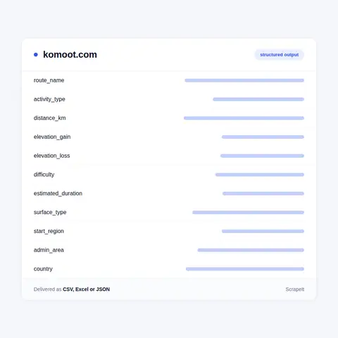
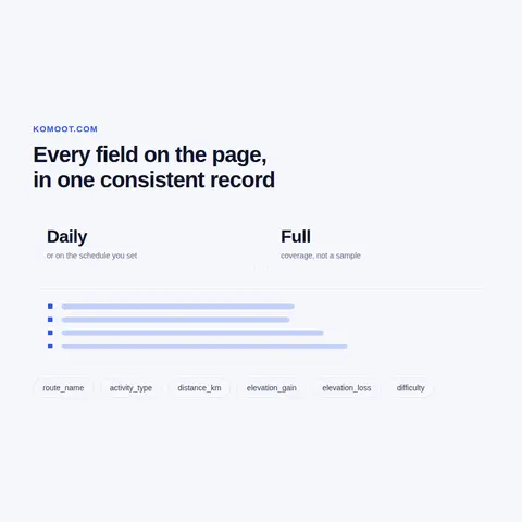
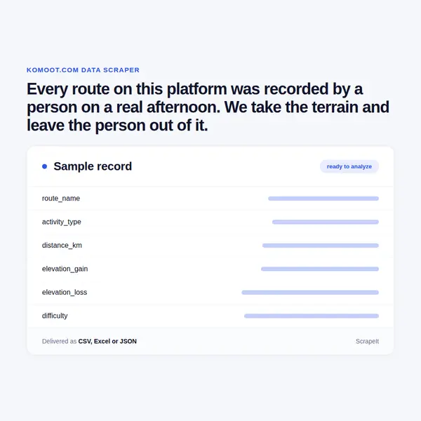
Route records carry the route name, activity type, distance, elevation gain and loss, difficulty rating, estimated duration, surface breakdown where published, start region and the administrative area it falls in.

Authorship is deliberately excluded. We do not collect the account that recorded a route, and we do not collect user profiles. A route stripped of its author is still complete terrain data and is no longer a record of an identifiable person's movements, which is the only version of this dataset we are willing to build.

Region records carry the area, its activity mix and the aggregate route counts, which is the level most tourism and planning work actually operates at.

Highlights are collected as points with their type and location, since for a mapping or tourism product the points of interest along a route are frequently the commercial value.

Every row carries the collection timestamp and the source address.

Komoot fields in every export
Regional coverage, terrain analysis and scope

Regional coverage, terrain analysis and scope

Regional coverage analysis is the most common brief: route density and activity mix by area, which for tourism boards and outdoor retailers directly informs where to invest and where a market is underserved.

Terrain and difficulty analysis supports product work - which regions suit which ability levels, where gravel routes concentrate, how elevation profiles differ between areas - and is straightforward once surface and difficulty are collected as fields.

Highlight clustering shows which points attract traffic, which is useful for anyone siting facilities or planning signage.

On scope we are firm. No user profiles, no authorship, no individual activity histories, and no attempt to link routes to people through timing or start points. The crawl rules already block several commercial crawlers from the site entirely, which is a reasonable signal about how the platform views bulk collection, and we work narrowly and politely inside what is open. If a brief needs the author column, we are not the right supplier for it.

Route data with a person attached to every row

Komoot is a route planning platform for hiking, cycling and running, built around routes, regional guides and highlights - points along a route worth stopping for. It covers Europe densely and other regions less so.

The data is genuinely useful terrain information: distance, elevation gain, surface type, difficulty rating, estimated duration and the geography a route passes through. For tourism boards, outdoor retailers, mapping products and anyone studying recreational infrastructure, that is exactly the right shape of data.

It also carries something that has to be handled deliberately. Routes exist because individuals recorded them, and each is attached to an account. A route is simultaneously terrain data and a record of a named person's leisure activity in a specific place on a specific day, and those two things can be separated - but only if somebody decides to separate them.

Guide and discovery sections respond directly with substantial content. Crawl rules are published and unusually well documented, with explanatory comments about locale-prefixed addresses; the generic rules disallow operational paths, while several named commercial and AI crawlers are blocked from the site entirely.

Get a Quote
dev_w
25

Developers

customers
500+

Customers worldwide

pages
1 500 000 000+

Pages extracted

stime
15000+

Hours saved for our clients

Plans

Airplane

€199 / one-time

setup fee - included

Data limits100,000
Frequencyone-time
Run timeup to 5 days
Data storing7 days

Helicopter

€169 / mo

setup fee €499

Data limits250,000
Frequencymonthly
Run timeup to 5 days
Data storing14 days

Glasses

€229 / mo

setup fee €499

Data limits1,000,000
Frequencyweekly
Run timeup to 5 days
Data storing30 days

DNA

€549 / mo

setup fee €799

Data limits3,000,000
Frequency3 times daily
Run timesame day
Data storing90 days

Why the author column is the one we refuse

This is a source where the technically easy dataset and the defensible dataset differ, and the difference is one column.

Collecting routes with their authors produces a file describing where named individuals go running, at what times, starting from where. Aggregated, that is a serious privacy problem regardless of the fact that each row was individually published, because the aggregate reveals patterns - home areas, routines - that no single route does. Route start points near a home address are a well understood risk in this category and they are not hypothetical.

Collecting routes without authors produces terrain data: where paths run, how hard they are, what surface they cross, how routes cluster by region. Every legitimate commercial use we have encountered needs the second and not the first, so declining the author column costs the client nothing and removes the problem entirely.

The second point is aggregation. Popularity of a region or a route is a useful signal and it is an aggregate, so it carries none of the individual exposure. We deliver counts rather than the rows behind them.

The third is that route data is inferred infrastructure. Where people actually walk and cycle is different from where the paths are officially mapped, and for planning that gap is the interesting part - reachable entirely from de-identified data.

Our Blog

Reads Our Latest News & Blog

Learn how to use web scraping to solve data problems for your organization

How Artificial Intelligence Is Used In Web Scraping

How Artificial Intelligence Is Used In Web Scraping

Leveraging advances in technology, the AI-powered web scraper has skyrocketed in demand and is helping to expand capabilities by automating tedious daily tasks and speeding up data collection from thousands of websites several times over.

What is Web Scraping and What is it Used For?

What is Web Scraping and What is it Used For?

Web scraping is a method of obtaining web data by extracting it from pages of web resources with the help of a program, that is, in automatic mode. It is used to syntactically convert web pages into more usable forms.

Web Scraping for Machine Learning

Web Scraping for Machine Learning

If you specialize in machine learning, you need to feed large amounts of data to the algorithms. Web scraping is the easiest and the most efficient method of collecting the data from all over the Internet.

scrapeit logo

Who builds and keeps your route data feed

ScrapeIt is a managed extraction company, not a tool you have to learn. Our team builds the pipeline, follows the regional structure as it changes, and repairs the collector before a coverage map develops a hole.

You see a sample first, in your format, over the regions you actually work in, de-identified from the start so you can confirm the terrain data answers your question without the author column ever existing.

FAQ

Can you include who created each route?

No, and it is a design decision rather than a limitation. Aggregated, routes with authors describe where named individuals go and when, and start points sit near homes. Every legitimate use we have met needs the terrain and not the person, so leaving it out costs nothing.

Can I still get popularity data?

Yes, as aggregates - route and region counts rather than the individual rows behind them. The signal you need is in the aggregate, and the aggregate carries none of the individual exposure.

What terrain detail comes through?

Distance, elevation gain and loss, difficulty rating, estimated duration, surface breakdown where published, and the region and administrative area. That supports ability-level and terrain analysis directly, without any derivation.

How good is coverage outside Europe?

Thinner, and we map it before quoting rather than after. The platform is dense in Europe, so a European brief works well and a global one needs its coverage limits stated rather than assumed from the domain.

Is bulk collection welcome here?

The crawl rules block several commercial and AI crawlers from the site entirely, which is a clear signal about how the platform views bulk collection. We work narrowly inside what is open for generic crawlers, pace requests, and would rather scope a brief down than push at that.

How does it Work?

Step 1 - Make a Request

You share your needs, expectations, and desired timeframe. We’ll suggest the best solution based on your request and budget.

Step 2 - Configuring Custom Web Crawlers

Our specialists configure the crawlers and extract a sample dataset for your review before proceeding with the full-scale extraction.

Step 3 - Collect and Deliver

Once you approve the sample, we launch the project and start full data collection. We gather, filter, and structure the data for easy use, delivering it on time in your preferred format.

Step 4 - Maintain and Support

Our team manages ongoing processes, monitors website changes, and supports all data extraction cycles. We can also help integrate data into your systems or create dashboards to simplify analysis.

Request a Quote

Tell us more about you and your project information.
Which sites, which fields, how often. A couple of lines is enough.

We reply within 1 business day. No obligation.

scrapiet

Scrapeit Sp. z o.o.
10/208 Legionowa str., 15-099, Bialystok, Poland
NIP: 5423457175
REGON: 523384582