Charter Flight Data from 12 Danish Tour Operators: a Pilot in 2 Weeks
A paid pilot for a regional airport in Scandinavia: direct charter departures from 12 Danish tour operator sites, sampled in two weeks.
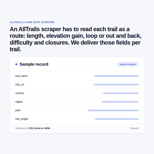
An AllTrails scraper has to read each trail as a route: length, elevation gain, loop or out and back, difficulty and closures. We deliver those fields per trail.
Plans from €169 a month · Free project assessment · Reply within 1 business day
CSV · Excel · JSON · XML · FTP · SFTP · Amazon S3 · Google Cloud
API, JSON feed or CSV, XLSX and JSON files
ScheduleOne-time, monthly, weekly, daily or 3 times a day
AllTrails pages, filters, fields and a schedule
Built, monitored and repaired by our team
API, JSON feed or CSV, XLSX and JSON files
You tell us the ground to cover - a state, a park, a country, a list of trail URLs or a feature such as waterfall hikes - and how often it should be re-read. We build the AllTrails crawler, run it and repair it whenever the trail page layout changes, so there is nothing for you to install or maintain. Trail pages are guarded against automated traffic, which is why pacing, proxy rotation, CAPTCHA handling and full browser rendering are part of the service.
Each run lands as CSV, Excel or JSON, or straight in your database, with a field guide for every column - including the fact that every trail length is the total of the mapped route, so an out-and-back figure already covers the walk back. It starts with a free project assessment and a sample from the parks you name.
Every AllTrails trail lives at an address built from country, region and slug - /trail/us/california/... or /trail/england/cumbria/... - and that path is the row key we keep between runs. The page title already carries the review count, and a route that is shut or on private land keeps its place with a [CLOSED] or [PRIVATE PROPERTY] tag after the name.
Units follow the site version and the unit setting: miles and feet, or kilometres and metres. We keep the stated value, its unit and a converted metric column side by side, so trails from both versions sort together.
One trail page answers one question; coverage answers the rest. We start from the places, parks, lists or points of interest you name and walk down to every trail listed under them, or from the filters AllTrails search offers: activity, difficulty, length, elevation gain, highest point, accessibility, features, route type and visitation, graded Not very busy, Somewhat busy or Busy. The filter value can stay on the row, so you know why a trail is in the set.
Reviews are the second layer, and AllTrails shows them to every visitor. Each can carry a star rating, the reviewer's own difficulty call, trail condition tags, permit, fee and parking notes, the primary activity and date on the trail, text and photos. We collect the text, ratings and tags without the author: reviewer names and profile photos are personal data, left out by default and handled under GDPR.
Repeated runs add time. Re-read the same trails weekly and the review count shows which routes are gaining visitors, review text and condition tags show snow and mud arriving with the season, and the [CLOSED] tag shows when a route shuts and when it reopens.
AllTrails is a trail guide for hikers, walkers, runners and riders, used on the web and in its app. Its catalogue is a geography before it is a list: search works by place - city, state or country - by park, from local parks to national forests and national parks, by trail name, and by lists the AllTrails team curates, such as one that holds every section of the Pacific Crest Trail. Points of interest, from viewpoints and lakes to campgrounds, lead to the trails that pass them, and trail features such as waterfalls, forests, wildlife or city walks cut any area into themes.
The trail page is the unit: a verified route on a map, distance and elevation, directions to the trailhead, photos, reviews and activities. Routes are checked by AllTrails moderators before they go live, members add reviews, photos and condition reports, and land managers in the AllTrails Public Lands Program post trail and park alerts, closures among them. Closed trails and private routes stay listed under their tag, so a closure is a field rather than a gap.
The site and app run in fourteen languages: English for the US and the UK, Danish, Dutch, German, French, Italian, Norwegian, Polish, Swedish, two Spanish and two Portuguese versions. The trails are shared; the language and the units change. Offline maps, the Trail Conditions weather card and other Plus and Peak features belong to paying members and are not part of what we collect.
Delivery: CSV, JSON or XLSX files, our API or a JSON feed. MCP server on request.
Full plan detailsTrail pages record where people go outdoors, how hard the routes are and when they are worth doing. The uses follow from those columns.
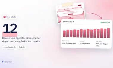
A paid pilot for a regional airport in Scandinavia: direct charter departures from 12 Danish tour operator sites, sampled in two weeks.
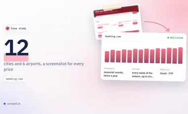
For several years, weekly car rental and, more recently, hotel prices from Booking.com for a tourism organization comparing its destination with rivals.
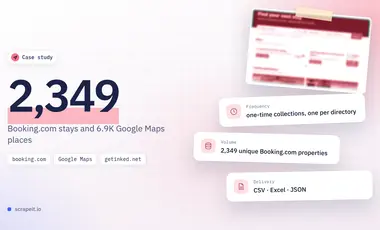
Four datasets for a studio that builds directory websites: Hawaii stays from Booking.com, UK schools and tattoo studios from Google Maps, GetInked profiles.
Learn how to use web scraping to solve data problems for your organization
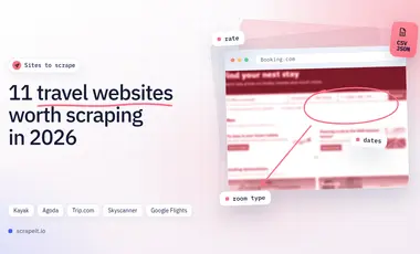
If you work in travel tech, an OTA, a hotel chain, or at an airport, you are in a price-and-availability arms race. Fares change by the hour, room inventory disappears in minutes, and competitors test new bundles and ancillaries constantly.
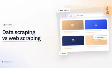
Data scraping is the wide term that includes documents, scans and old screens; web scraping is the part that works on websites. We compare sources, daily work, output and cost drivers, give a briefing checklist and walk through two of our projects.

Leveraging advances in technology, the AI-powered web scraper has skyrocketed in demand and is helping to expand capabilities by automating tedious daily tasks and speeding up data collection from thousands of websites several times over.

ScrapeIt is a managed web scraping service: we build the crawlers, run them on your schedule and hand over the data with field documentation. Outdoor platforms like AllTrails suit that model, because the value sits in repeated reads - a closure, a new review, a season turning - rather than in one copy. Name the parks, regions or trail features you need and we come back with a free project assessment and a sample. Plans start from EUR 169 a month, or EUR 199 for a one-time extract.
Still unsure? Write to info@scrapeit.io
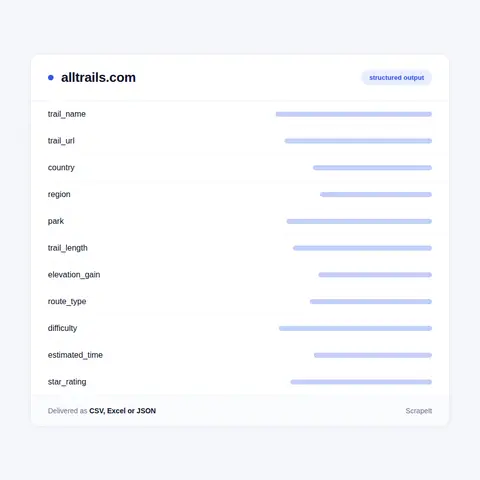
Yes. The ScrapeIt AllTrails API returns trail name, trail length, elevation gain, route type, difficulty, star rating and review count as JSON from an endpoint we host, refreshed on the schedule you set. The same rows also arrive as CSV or XLSX files, through a JSON feed or loaded straight into your database.
Yes. Trail pages, park pages, ratings, review text and closure tags are open to any visitor without an account. We collect only publicly available data - everything a visitor can see on AllTrails - and we collect it legally, with reviewer names left out by default.
Yes. We start from the state, park or points of interest page and collect every trail listed under it, so a set for Yosemite National Park or for Cumbria holds each route with its length, elevation gain, route type, difficulty and tags. The list can also be narrowed by activity or feature, for example only waterfall hikes or dog-friendly walks.
It depends on the column. Length, elevation gain and route type change only when AllTrails re-maps or recalculates a route, so a monthly pass is enough for them. Review counts, condition tags and the [CLOSED] tag move with weather and season, and weekly or daily runs catch those changes.
Yes. Trails outside the US live under their own country paths, such as /trail/england/cumbria/, and the language versions present the same trails in their own wording and units. We collect the version you need and keep both the stated unit and a metric value, so a UK and a US set merge cleanly.
You share your needs, expectations, and desired timeframe. We'll suggest the best solution based on your request and budget.
Our specialists configure the crawlers and extract a sample dataset for your review before proceeding with the full-scale extraction.
Once you approve the sample, we launch the project and start full data collection. We gather, filter, and structure the data for easy use, delivering it on time in your preferred format.
Our team manages ongoing processes, monitors website changes, and supports all data extraction cycles. We can also help integrate data into your systems or create dashboards to simplify analysis.
Tell us which sites, which fields and how often. A couple of lines is enough to start.
AllTrails data from €169/month. Free project assessment, reply within 1 business day.